Tesla CEO's Vision-Only Strategy Fails as Company Builds In-House Mapping System
Tesla's AI head admits the fleet will now generate its own navigation data to correct speed limit and parking errors, marking a major reversal in the automaker's self-driving philosophy.
By Wei Zhang ·
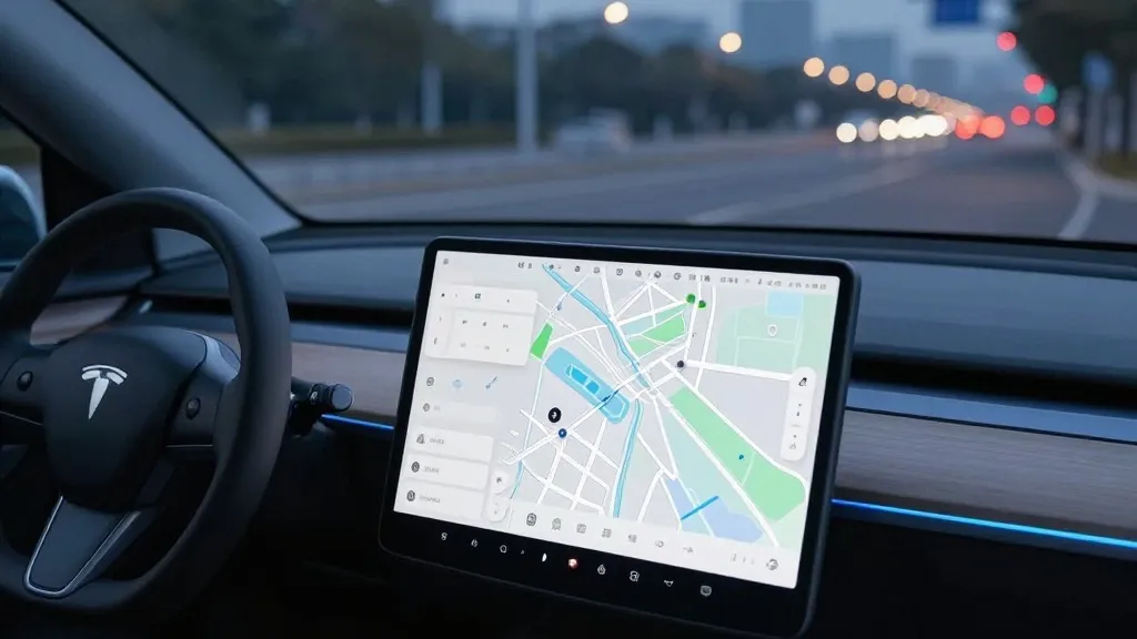
Tesla has officially confirmed that it is developing its own mapping infrastructure to address persistent failures in its Full Self-Driving (FSD) software. This announcement, made by the company’s VP of AI during the Q3 2026 earnings call, signals a significant departure from the brand's long-standing insistence that cameras and artificial intelligence alone were sufficient for autonomous navigation. The new system is designed to resolve specific pain points that have frustrated drivers, including the accurate reading of speed limits, the identification of parking options, and the selection of efficient routes.
The shift was prompted by direct feedback from the company's shareholder base. During the earnings call question-and-answer session, a retail investor highlighted that mapping remained a critical weakness for FSD. The investor specifically cited speed limits, parking, and typical route selection as the three most common issues and questioned why Tesla continued to rely on third-party map data rather than creating its own. Ashok Elluswamy, Tesla’s VP of AI, validated the concern, stating that the company should no longer depend on external providers for this essential data.
Elluswamy described the new architecture as an AI-based mapping and navigation system that learns collectively from the Tesla fleet. This data-driven approach will also be capable of learning individual driver preferences and responding to voice commands. The rollout is staged, with the technology initially handling the beginning and end of trips alongside the upcoming FSD v15 release. Over the following months, Tesla plans to integrate this new map layer into the core navigation, parking, and destination management features of the software.
This development stands in stark contrast to the company’s historical positioning. In 2019, CEO Elon Musk publicly dismissed the use of high-precision lane maps, calling them a "huge mistake" that made self-driving systems "extremely brittle." In the same presentation, he famously referred to lidar as a "fool's errand," arguing that Tesla’s vision-based approach was superior to the heavy reliance on sensors and maps used by competitors like Waymo. That narrative suggested a future where Tesla vehicles could navigate anywhere without pre-mapped infrastructure.
However, the practical challenges of the real world have forced a recalibration. While Tesla has always used standard navigation maps, the specific failures it is now targeting are related to environmental understanding. Speed limit signs, for example, represent simple road information that an end-to-end vision system should theoretically process without issue. Yet, evidence suggests otherwise. A Belgian road safety group recently found that FSD vehicles exceeded the 30 km/h limit in 55% of tested zones in Brussels, often because the vehicle’s display incorrectly showed a 50 km/h limit.
The issue is not limited to Europe. In the United States, the National Highway Traffic Safety Administration (NHTSA) is currently considering an investigation into claims that Tesla Robotaxis have sped through active school zones. The vehicles under review include approximately 1,000 Model Y and Cybercab units. If a vision system struggles to reliably read and apply basic speed limit signs, the reliance on a robust map layer becomes a logical necessity to ensure safety and accuracy.
This new strategy aligns Tesla’s operations more closely with the methodology of its primary competitor, Waymo. Waymo maps cities by driving sensor-equipped vehicles through them before launching service, and it continues to update those maps as its fleet operates. Tesla is now adopting a similar model where its cars collect visual data to feed a central, Tesla-built map that improves the driving experience for the entire fleet. The primary technical difference remains that Waymo’s vehicles are equipped with lidar, whereas Tesla relies on cameras.
The move also reflects the reality of Tesla’s current Robotaxi service, which operates in city-specific, geofenced areas under direct fleet management. While the company is not currently discussing centimeter-level high-definition maps, a map built from the cumulative data of millions of vehicles has the potential to become increasingly detailed. This approach suggests that the "vision-only" ideal has given way to a hybrid model where proprietary mapping data serves as a critical support layer for the AI.
Source: Electrek