Chardon and Hambden Lead 20 Communities Exposed to Extreme Lake-Effect Snow
Geographic factors like elevation and wind direction drive snowfall totals in Northeast Ohio's snowbelt, where some towns receive over 100 inches annually.
By Lorenzo Evans ·
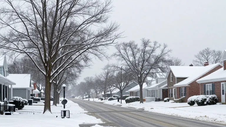
Twenty communities in Northeast Ohio stand out for their consistent exposure to heavy lake-effect snow.
Meteorologists identify the region's snowbelt as stretching across portions of Cuyahoga, Lake, and Geauga counties. The phenomenon occurs when cold air moves across the warmer surface of Lake Erie. The air collects moisture and then releases it as snowfall over land. Wind direction, elevation, and distance from the lake determine which specific neighborhoods receive the most accumulation.
Chardon in Geauga County serves as a primary example of this dynamic. The community regularly receives annual snowfall totals exceeding 100 inches. Its higher elevation and position deep within the snowbelt make winter weather a defining aspect of local life. Nearby Munson Township surrounds portions of Chardon and shares a similar climate. Its elevated terrain intensifies snowfall when lake-effect bands traverse central Geauga County.
Hambden Township holds a record for extreme short-term accumulation in the area. During a storm in November 1996, one local observer measured nearly 69 inches of snow in just six days. That event remains a benchmark for the intensity of lake-effect systems in the region. Burton and Newbury Township also lie within this snowy stretch of Geauga County. Their inland locations offer little protection when powerful bands push south from the lake.
Bainbridge Township sits southeast of Cleveland, where lake-effect snow reaches well beyond the immediate shoreline. Residents near the Chagrin Valley often experience winter conditions that differ sharply from those in Cleveland's western suburbs. Chesterland, just east of Gates Mills, occupies a prime location for heavy snowfall. Residents there frequently face significant accumulation when northwest winds carry moisture inland from Lake Erie.
In Cuyahoga County, several eastern suburbs face similar challenges. Chagrin Falls and Gates Mills lie in the path of lake-effect snow due to their location in the eastern part of the county. Heavy snow can make travel difficult along wooded roads and quiet residential streets. Cleveland Heights and Solon also experience heavy snow thanks to elevated terrain and their position near the primary snowbelt. Solon sits farther south than many traditional snowbelt communities, yet strong storms still reach the city when bands extend deep into Northeast Ohio.
Highland Heights, Mayfield Heights, Richmond Heights, and South Euclid all occupy spots in eastern Cuyahoga County exposed to lake-effect snow. Drivers along Mayfield Road and Green Road can experience rapidly changing conditions as narrow snow bands settle over the area. These communities often see sharply different snowfall totals across neighboring suburbs during the same storm.
Lake County communities also rank among the snowiest in the Cleveland area. Kirtland, particularly around the higher elevations near Holden Arboretum, recorded 56 inches during the historic November 1996 snowstorm. Mentor stretches across northern Lake County, placing much of the city close to Lake Erie. Its neighborhoods can experience dramatic differences in snowfall depending on where lake-effect bands develop.
Willoughby, Painesville, and Madison complete the list of twenty high-snow communities. Willoughby sits just east of Cleveland's suburbs and encounters lake-effect snow regularly. Painesville occupies a familiar spot in the primary snowbelt, east of Mentor and near Lake Erie. Westerly and northwesterly winds can push heavy snow into the area during cold winter outbreaks. Madison lies in eastern Lake County, between Painesville and Ashtabula County, in a corridor known for substantial snowfall.