Tri-State weather shifts from 70s to 50s as storm system arrives
Unusually warm conditions persist through the holiday weekend before a strong cold front brings rain, wind, and a sharp temperature drop.
By Lorenzo Evans ·
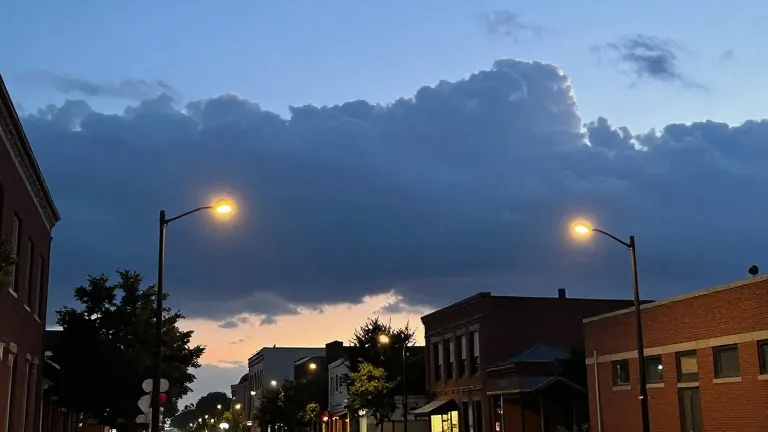
The Cincinnati region will experience highs near 70 degrees Fahrenheit on Saturday, marking one of the warmest Halloween weekends in recent memory. This mild stretch concludes a pattern that has kept temperatures in the upper 70s and low 70s throughout late October. Residents are advised to set their clocks back one hour on Saturday night as the holiday weekend progresses.
WXIX meteorologists forecast mostly cloudy skies for the Halloween festivities, with a minimal chance of stray sprinkles in late afternoon. The dry conditions should allow for trick-or-treating and FC Cincinnati events to proceed without major weather interruptions. Sunday will follow a similar pattern, offering highs in the low 70s and a slim shower chance during the Cincinnati Bengals game.
The mild weather continues into early next week, with temperatures remaining in the low to mid-70s from Monday through Wednesday. Breezy conditions are expected to return on Tuesday and Wednesday as a stronger cold front approaches the area. While spotty showers are possible each day, widespread precipitation is not anticipated until the latter part of the week.
Weather Day designations have been adjusted to reflect the approaching system, shifting focus to Thursday and Friday. Thursday presents the greatest risk as multiple rounds of rain and storms move through the Tri-State. Forecasters anticipate heavy rainfall, localized flooding, and gusty winds, with some storms potentially intensifying.
Friday remains designated as a First Alert Weather Day due to lingering rain, drizzle, and strong gusts. The system will drive a significant cooldown, dropping highs from the 70s to the upper 50s. Temperatures are projected to fall further into the low to mid-50s for the following weekend.
Showers and clouds may persist into Saturday before sunshine returns on Sunday. Meteorologists note that while holiday weekend plans do not need to be canceled, the timing and intensity of the storms will be refined as new data arrives. The shift from mild October conditions to a stormy November start represents a distinct change in the regional weather pattern.
Source: WXIX-TV